|
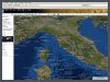
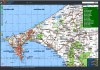
Atlo3D
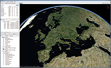 |
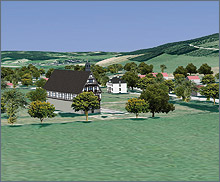
is an interactive Google Earth like 3D geobrowser that displays online accessible and locally stored data. Because of a modular architecture it can be easily extended by further functions and is adaptable to special requirements. Aerial photographs combined with elevation data and textured 3D objects are used to create interactive, close-to-reality visualizations.
|
|
Overview
* Highly modular and customizable (Eclipse OSGi Framework)
* Providing an user friendly environment for GIS users
* Create animations and export as video
* Geodata packages (e.g. satellite imagery and topographic maps) available
for offline Use
* WMS / WFS interfaces (persistent off-line cache and pre-caching)
* High resolution image export (poster-size)
* Import / export of raster, vector and 3D data in common GIS formats
* Placemark and route editing
* GPS-Live-Tracking
* Display of geotagged photos
* Geodata comparison: synchronized browsing of multiple 3D views
* Based on the approved NASA World Wind SDK
* Platform independent (Windows, Linux, Mac OS-X)
Use Cases:
 * Location Based Services * Location Based Services
* Civil and Infrastructure
Planning
* Visualization (Marketing,
Planning, Scientific)
* Navigation
* Real Time Tracking
* Travel and Tourism
* Military and Defense |
|
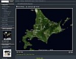
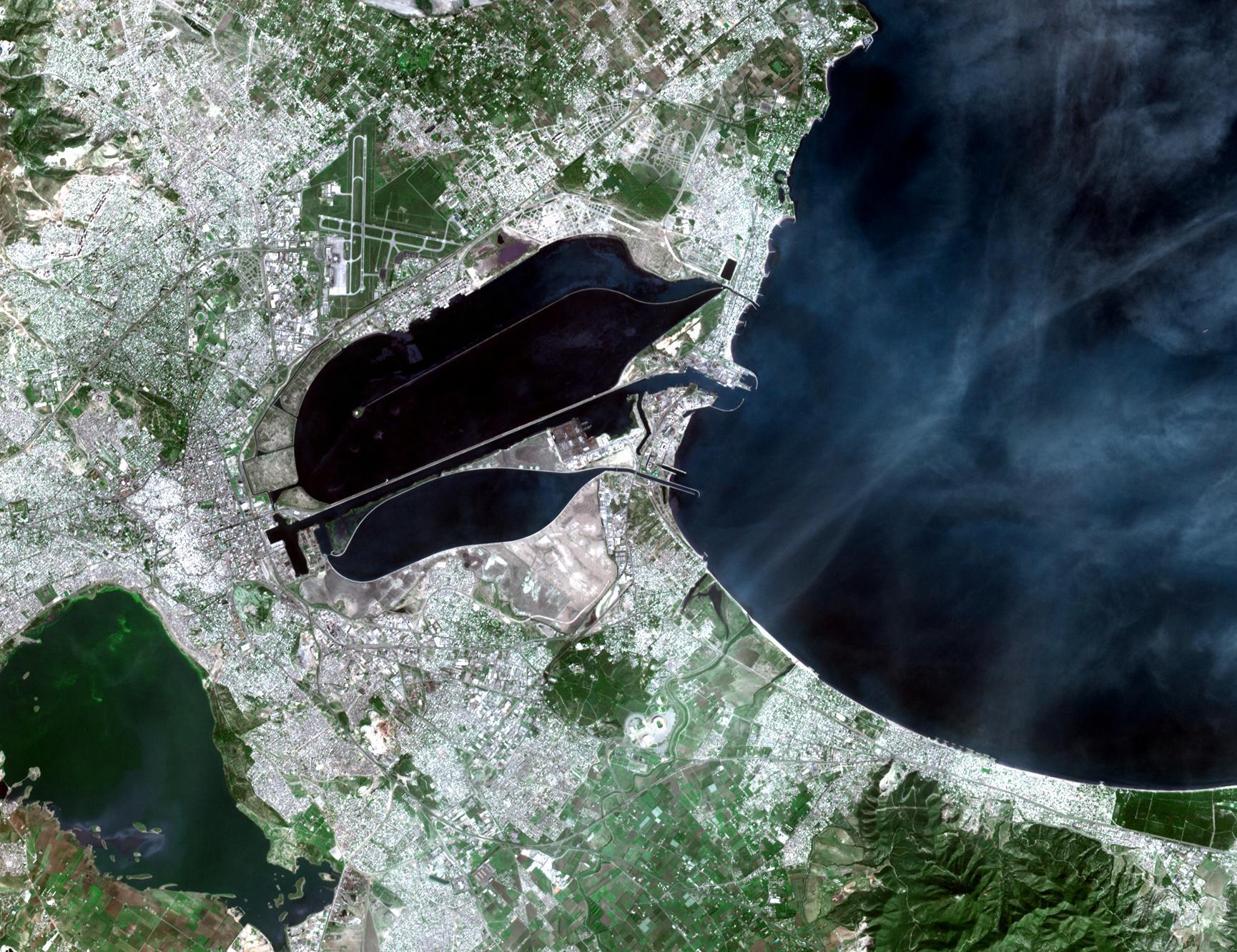
Mapshop
We provide excellent satellite image mosaics and relief maps from any place on earth including height maps and vector data. |
|
|