Home
Contact
Satellite images
15m LANDSAT 7 mosaic
30m LANDSAT 5 mosaic
120 1920m Landsat
15m ASTER
Satellite image maps
Digital maps
Shaded relief maps
World-vector-map-set
Products
Atlo3D
Atlomaps
Services
GIS / Remote Sensing
Web-GIS
3D Visualization
GIS-Server/Data Hosting
Large format printing (LFP)
Shop
Atlogis Map Shop
...under Construction
Please come back later.
Mapshop
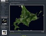
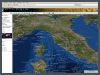
We provide excellent satellite image mosaics and relief maps from any place on earth including height maps and vector data.
Landsat 7 v2 mosaic
Global satellite image in
natural color.
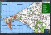
Topomapper
Browse world-wide
topographic maps.
» Print
» Top
» Back